Become More Efficient in the Field
Drone Services for Agriculture
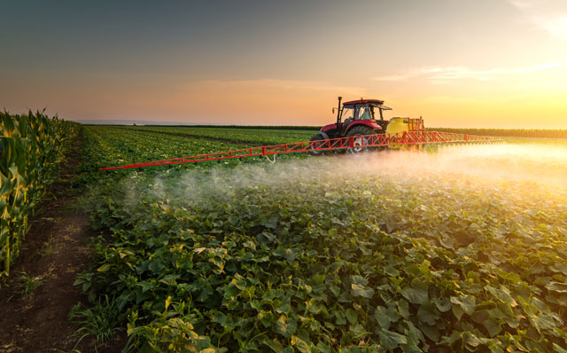
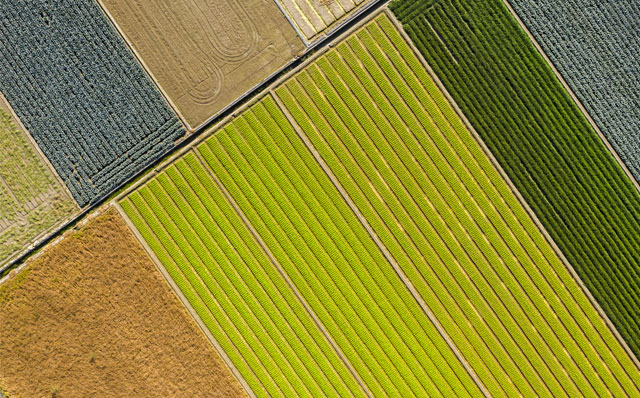
Agriculture is one of the fastest-growing markets in the commercial drone industry today. And UAVs are quickly becoming an indispensable tool to help you become more efficient in the field, and make more informed crop management decisions.
Over the past few years, a growing ecosystem of ag-specific drone solutions has emerged, making it possible to put aerial data to work in new and exciting ways, ranging from detecting crop damage to analyzing stand counts.
Today’s drone solutions let farmers detect crop health issues in real-time, accurately assess losses after a major weather event, and even generate variable rate prescriptions that can save some serious cash by limiting labor and resources.
We at DRONIZE, with a team of experienced pilots, are ready to help growers and agriculture professionals to use drones in their fields and gather required data to manage and decide accurately and quickly.
Here are the services we offer to the agriculture industry
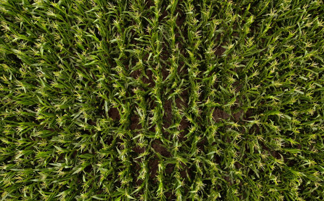
Stand Count
Determine the number of plant in a specific area and compare this number to the results you have expected. Perfect for counting seasonal field crops and vegetables and determining sowing quality and potential yield loss.
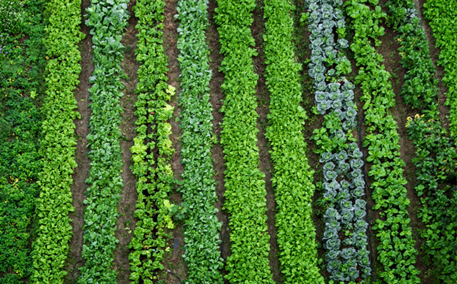
Plant Population
Perform curate plant counts for all types of rows, including different orientation angle rows. Perfect for counting perennial plantations.
Plant Stress Analysis
Obtain general information on how healthy your plants are by determining the location of problem areas. Plant stress refers to any kind of distress: weed, drought, pest, disease, etc.
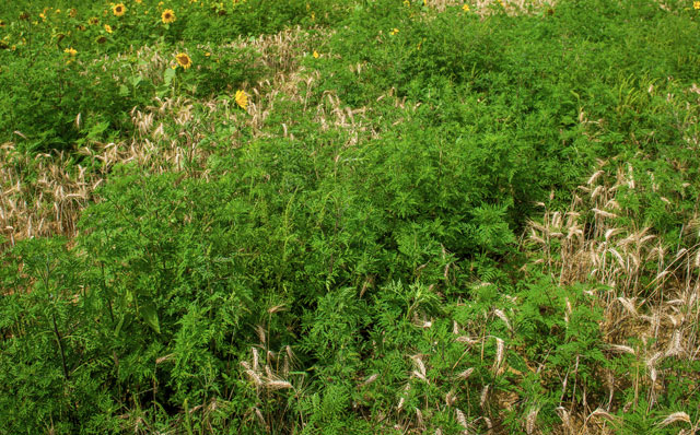
Weed Analysis
Identify the location and size of weed-infested areas to optimize pesticide usage.
Pest Analysis
Spot and analyze pest-infested areas to proactively react to drawbacks.
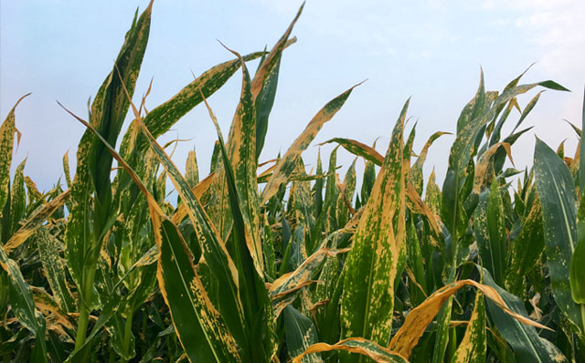
Plant Disease Analysis
Scan your field for a particular disease and determine the location and size of disease-infested areas.
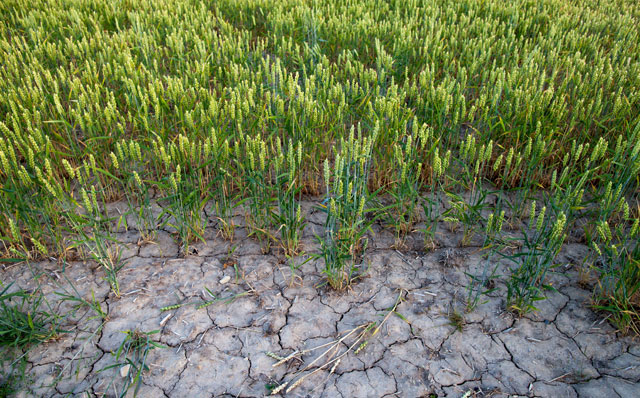
Water Stress Analysis
Spot areas with potential water stress and standing water to optimize drainage and irrigation systems.
Flowering Estimator
Assess flowering levels to determine the exact growing stage of your plants and optimize pesticide usage and choose the perfect harvesting date.
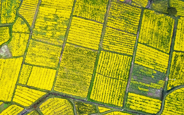
Eagle Eye Report
Create a complete list overview of field annotations to highlight specific points on your field, GPS coordinates, area sizes, and many more.
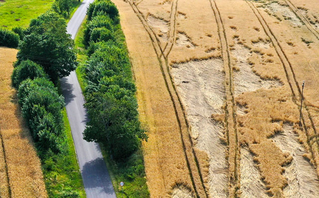
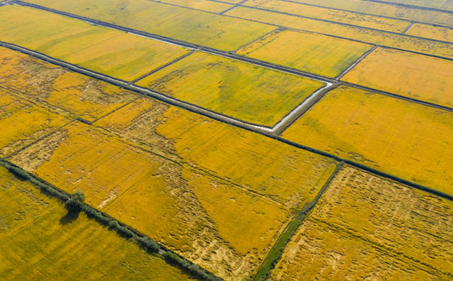
After a Major Weather Event
Aerial imagery to assess damage and mitigate loss after a major weather event.